None
EN
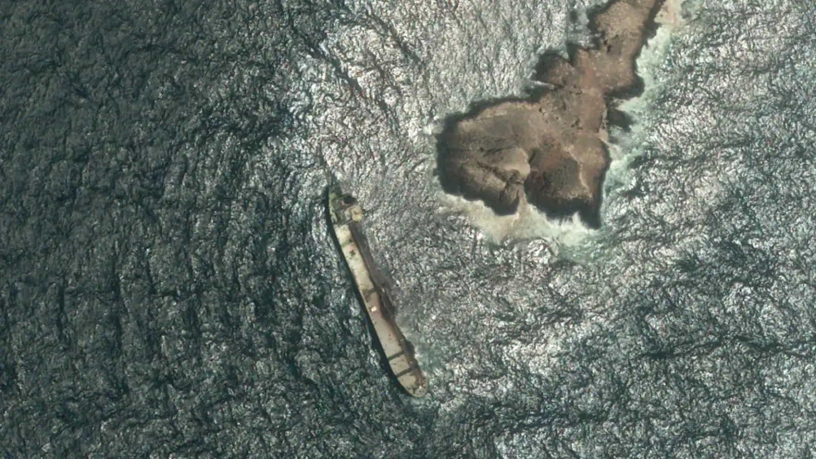
Satellite images show tanker sinking further off Oman
['Associated Press', 'News The Associated Press', 'A Taste Of The Great Journalism Produced Ap Members']
The Siasat Daily
By August 7, the spill was covering nearly 800 square km (309 square miles), according to Wim Zwijnenburg, an environmental expert for PAX, a Dutch organisation that tracks environment in conflicts.
“Satellite imagery analysis suggests that the oil spill covered 45 square km (17 square miles) up until July 26.
By August 2, it had expanded to around 150 square km (58 square miles), and imagery from August 4 indicates that it now extends across roughly 600 square km (232 square miles),” said Nina Noelle, an environmental disaster expert at Greenpeace Germany.
Satellite images dated August 5 show an oil sheen trailing northeast of the tanker, aground off the rocky coastline, and surrounding the island.
The statement published by the Oman News Agency said authorities were observing the area through satellite images, field surveys and technical models.