None
EN
Comment on Navy survey team maps seabed in the Firth of Clyde by FormerUSAF
['Craig Langford', 'Trained As A Mechanical Engineer', 'Craig Took An Unconventional Route Into Journalism', 'Bringing With Him A Rare Technical Precision', 'Analytical Depth That Continues To Set His Reporting Apart.', 'Please Enter Your Name Here']
Comments for UK Defence Journal
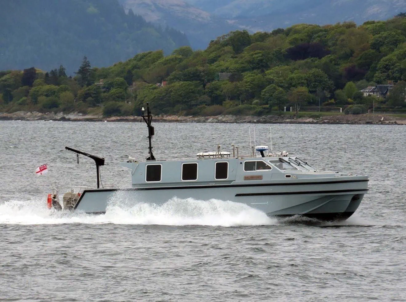
A specialist Royal Navy hydrographic team has been carrying out continuous seabed surveys in the Firth of Clyde since the spring, gathering data on water depth, seabed features and composition in support of operations, the Royal Navy stated.
The work is being conducted by Hydrographic eXploitation Group 3, part of the wider Hydrographic Exploitation Group based at HMNB Devonport.
According to the Royal Navy, the information gathered will feed into maintaining a comprehensive picture of the seabed and support future maritime activity.
The Hydrographic Exploitation Group surveys waters ranging from shallow coastal areas out to deep ocean environments.
Hydrographic survey has been a Royal Navy function for more than two centuries, with the Hydrographic Office established in 1795 and its charts subsequently adopted as a global standard.