None
CA
How Los Angeles, San Jose and San Diego looked more than 100 years ago
['Kurt Snibbe']
Press Telegram
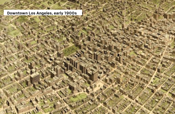
The way we wereToday we look at panoramic maps that are in the Library of Congress’s archives.
The panoramic map was a popular cartographic form used to depict U.S. and Canadian cities and towns during the late 19th and early 20th centuries.
Known also as bird’s-eye views, perspective maps are non photographic representations of cities portrayed as if viewed from above at an oblique angle.
To see more cities in the U.S. and Canada, search Library of Congress panoramic maps.
Sources: Library of Congress