None
EN
Satellite sees river flow across the globe | Space photo of the day for Jan. 29, 2025
['Kenna Hughes-Castleberry']
Latest from Space.com
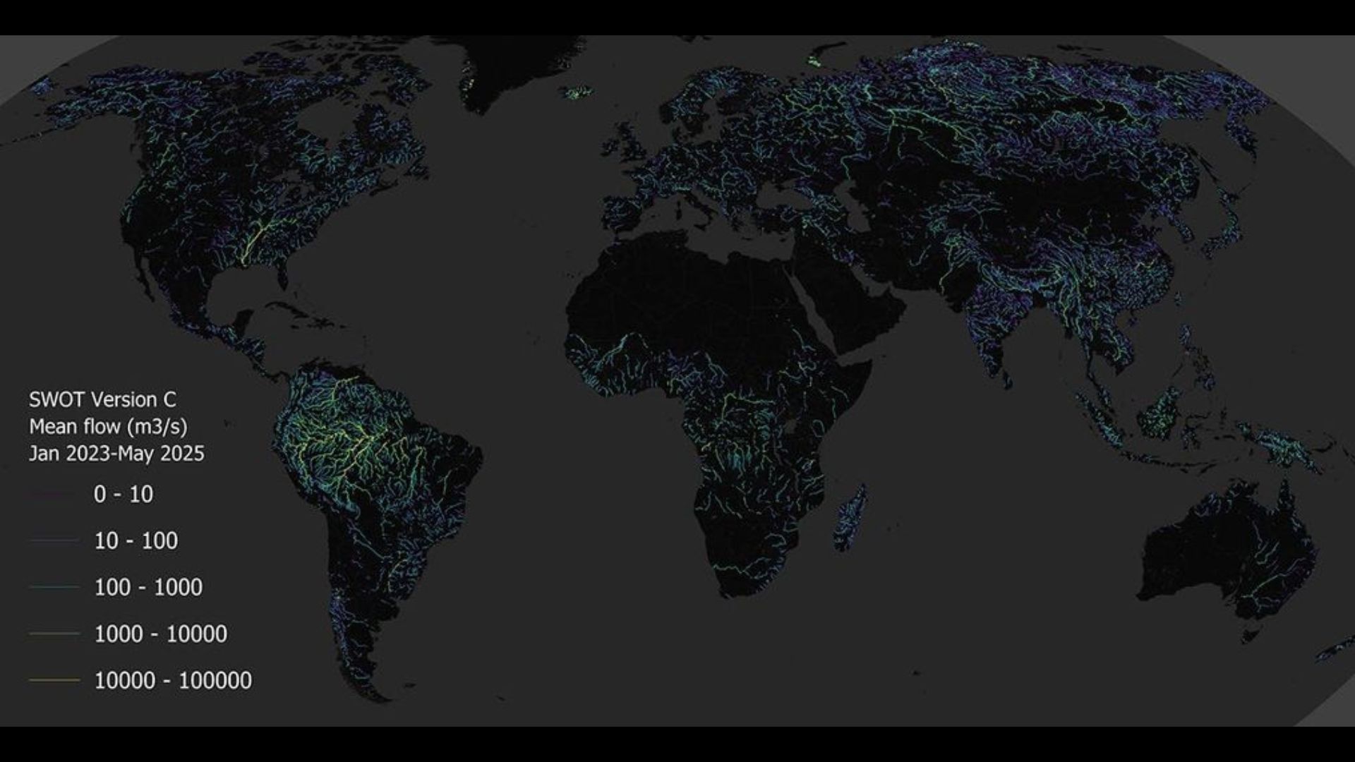
A map made with SWOT data describing estimated discharge for rivers around the world.
From fast-moving rivers to trickling creeks, scientists around the world work to measure discharge, or the volume of water flowing past a point per second.
The brighter and denser the network, the more major river reaches (and higher flows) are being captured in the estimate.
According to NASA, this release represents the first-ever global estimate of both river discharge and suspended sediment observed from space — covering every river on Earth wider than about 160 feet (50 meters).
This map gives the first-ever global estimate of sediment suspended in rivers and the rivers' overall discharge.